Earth
Who Found Machu Picchu? A Farmer Walked Him There
In 1911 an American professor was led up the mountain by a local man. The families who lived there already knew the place.
Earth
Uluru rises dramatically from Australia's Red Centre as both a remarkable geological formation and a sacred cultural landscape. Discover how millions of years of geological change and thousands of years of Indigenous tradition have shaped one of the world's most significant natural landmarks.
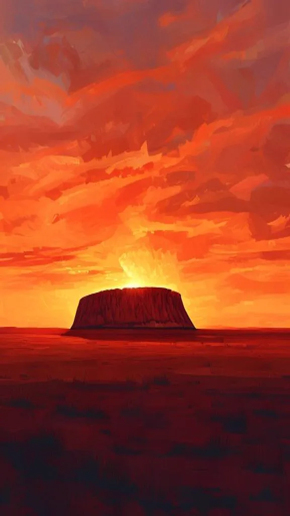
Rising dramatically from Australia's red desert landscape, Uluru is one of the world's most recognizable natural landmarks. Standing 348 meters above the surrounding plains in the heart of the Northern Territory, this massive sandstone formation has fascinated geologists, travelers, and Indigenous communities for generations.
But Uluru is more than a geological wonder. For the Anangu people, the Traditional Owners of the land, it is a sacred place woven into stories, laws, and cultural identity that have been passed down for thousands of years. Its presence reminds us that geography is not only about understanding physical landscapes, but also the deep connections people form with the environments they call home.
Uluru's immense size can make it seem almost otherworldly. Although it rises 348 meters above the surrounding desert, scientists believe much of the rock mass extends beneath the surface, making it even larger than what visitors can see. The sandstone that forms Uluru began developing around 550 million years ago, shaped by ancient rivers carrying sediments into a vast inland basin.
Over millions of years, tectonic forces folded and tilted these rock layers before erosion gradually exposed the striking monolith visible today. The rich red color that changes throughout the day comes from the oxidation of iron minerals within the rock surface. At sunrise and sunset, Uluru often glows with intense shades of orange and crimson, creating one of Australia's most breathtaking natural spectacles.
Its geological history provides an extraordinary window into Earth's dynamic past, demonstrating how landscapes continuously evolve over immense periods of time.
For the Anangu people, Uluru is far more than a natural landmark. It is a living cultural landscape connected to Tjukurpa, a system of traditional knowledge, laws, and creation stories that guide relationships between people, community, and the environment.
Many features found around Uluru, including caves, waterholes, and rock formations, hold profound spiritual significance and are linked to ancestral stories passed down through countless generations. This knowledge reflects a deep understanding of the land and highlights how Indigenous communities have sustainably lived within Australia's challenging desert environment for thousands of years.
Recognizing Uluru's cultural importance has transformed how many people think about geography. Places are not defined solely by their physical characteristics; they are also shaped by the meanings, histories, and identities that communities attach to them.
Uluru brings together many of geography's most important themes in a single location. It demonstrates how geological processes shape Earth's landscapes over millions of years, while also revealing the powerful relationships between people and place.
Studying Uluru helps us understand that geography extends beyond maps and coordinates. It explores how environments influence cultures, how societies assign meaning to landscapes, and why preserving both natural and cultural heritage matters for future generations.
Few places illustrate these connections as clearly as Uluru. Rising from Australia's desert interior, it stands as both a remarkable geological formation and a symbol of enduring cultural identity. Through Uluru's story, geography becomes not just the study of where places are, but an exploration of why they matter.
Uluru reminds us that every landscape tells a story shaped by both nature and people. Explore more geography discoveries with Antropeo and uncover the fascinating connections that define our world.
Earth
In 1911 an American professor was led up the mountain by a local man. The families who lived there already knew the place.
Earth
In 1883 a volcano in Indonesia blew up. The bang crossed the Indian Ocean, and the pressure wave went around the world.
Earth
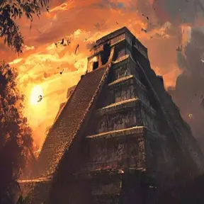
A Maya pyramid in Mexico seems to hold a snake made of shadow and a bird made of echoes. Nobody knows whether that was planned.
Earth
In 1991 a man in Vietnam found a cave by its sound. It has its own river, its own weather and its own jungle.