How the British East India Company Reshaped Geography and Global Trade
The British East India Company was more than a trading enterprise. Its influence transformed trade routes, cities, and political landscapes, leaving a geographic legacy that still shapes our world today.
Few organizations in history have influenced geography as profoundly as the British East India Company. What began as a commercial venture searching for spices and textiles evolved into a force that redirected trade routes, transformed cities, and altered the lives of millions of people. Its story is not simply about commerce or empire. Instead, it reveals how geography and power have always been interconnected, shaping how societies trade, expand, and interact with one another. Understanding this history helps us recognize that the world we know today has been shaped by decisions made centuries ago, many of which continue to influence global connections and regional identities.
The Company That Changed Maps
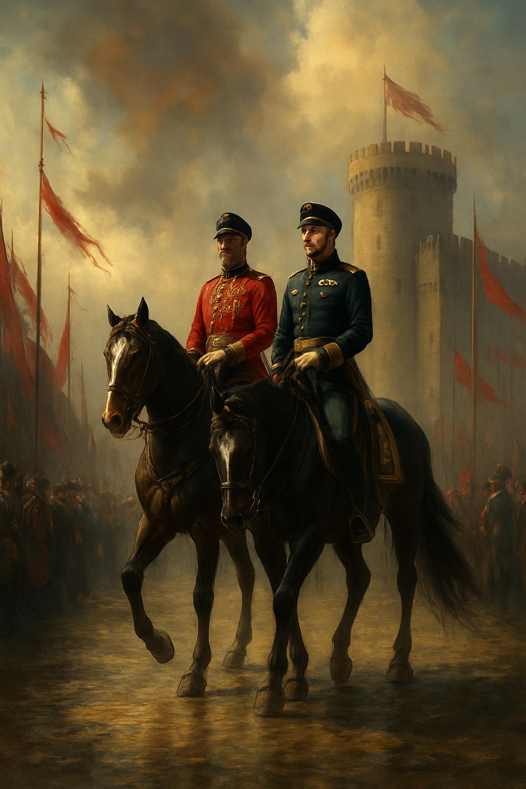
The British East India Company began as a trading venture searching for spices, textiles, and new opportunities overseas. Yet over time, it grew into something far more powerful. At its height, the company controlled vast territories across the Indian subcontinent, maintained its own army, collected taxes, and influenced the lives of millions of people. From a geographical perspective, this transformation shows how location and trade routes can shape world history. Access to ports along the Indian Ocean allowed goods, ideas, and people to move between continents. Major cities such as Kolkata, Mumbai, and Chennai expanded into important centers of commerce partly because of these networks. Geography was not merely the backdrop of events—it was one of the forces driving them. The story of the East India Company demonstrates that maps are not fixed. Political influence, economic interests, and strategic locations can redefine how regions develop and interact with the wider world.
Why Geography Was the Company's Greatest Advantage
The success of the British East India Company was deeply connected to geography. India occupied a strategic position between Europe, East Asia, the Middle East, and Africa. Control over coastal regions and major ports provided access to some of the world's busiest maritime trade routes. Rivers, fertile plains, and established urban centers also influenced the company's expansion. Areas with productive agricultural land supported large populations and generated valuable resources, while transportation networks enabled goods to travel efficiently across great distances. Geography shaped economic opportunities, military strategies, and political decisions. However, these advantages came with significant consequences. The pursuit of commercial interests often affected local economies and societies in profound ways. Understanding this history encourages us to think critically about how geography can create opportunities while also influencing inequalities and power dynamics that continue to shape the modern world.
The Lasting Geographic Legacy of Empire
Although the British East India Company no longer exists, its influence can still be seen today. Many trade patterns established during this period contributed to the development of modern global commerce. Major cities that grew under colonial trade networks remain important economic hubs, and some transportation corridors continue to connect regions in similar ways. The company's story also highlights an important geographical lesson: human decisions shape places just as places shape human decisions. Borders, infrastructure, migration patterns, and cultural exchanges are often connected to historical events that unfolded centuries earlier. Studying the East India Company is not about celebrating empire. Instead, it offers an opportunity to understand how geography intersects with economics, politics, and society. It reminds us that the landscapes we see today have been influenced by countless historical choices, many of which continue to affect communities around the world.
What this teaches us about geography
Antropeo transforms historical geography into interactive discovery. Instead of memorizing dates and locations, players explore how trade routes, strategic cities, and geographic advantages shaped major events in world history. Through immersive challenges and visual storytelling, Antropeo helps learners understand not only where history happened, but why those places mattered and how their influence continues to shape our world today.